
Why are many gravel roads in Kruger still closed months after the January floods?
Many gravel roads in the Kruger remain closed months after the January floods due to structural damage, environmental protection requirements and ongoing seasonal weather impacts.
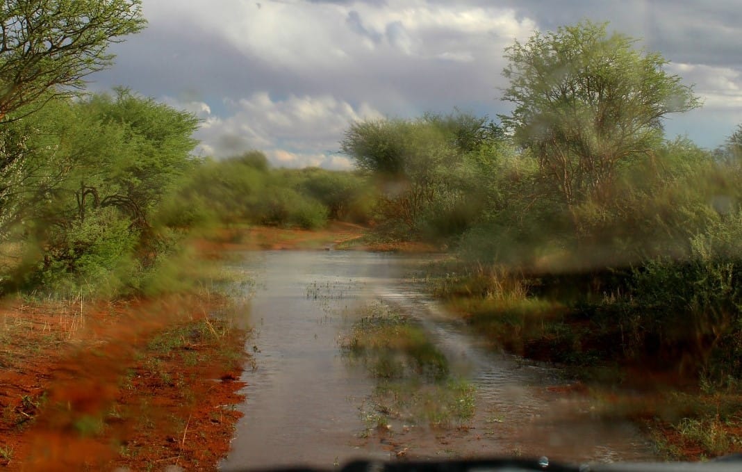
Visitors returning to the Kruger National Park in 2026 will notice that several gravel roads remain closed months after the heavy January floods had passed through the Lowveld. These closures affect some of the park’s most rewarding routes, including quieter loops that often produce excellent wildlife sightings away from main tar roads.
The January floods caused widespread damage across Mpumalanga and Limpopo. Rivers such as the Sabie, Olifants and Letaba swelled beyond their banks, washing away sections of road infrastructure and damaging culverts.
Gravel roads are particularly vulnerable.
Unlike tarred routes, they rely on compacted layers that can be quickly eroded when water flow becomes intense. Entire sections can disappear within hours during extreme rainfall.
Damage is not always visible immediately. Subsurface erosion can weaken road foundations even when the surface appears intact. Reopening roads prematurely risks further collapse during later rainfall.
Environmental protection requirements also influence repair timelines. The Kruger is a protected ecosystem managed by SANParks, where roadwork must consider wildlife movement, vegetation recovery and river system stability. Heavy machinery cannot simply operate freely across sensitive habitats. Planning and assessment are required before reconstruction begins.
Budget allocation plays a further role. National parks operate within structured maintenance budgets, and large-scale flood repairs must compete with other infrastructure needs across multiple reserves. Seasonal weather complicates recovery. Continued summer rainfall often extends into autumn, making it difficult to complete stable repairs in one continuous phase.
Certain routes remain closed longer due to their proximity to flood-prone rivers or low-water crossings. These areas are repeatedly exposed to damage during heavy rain events.
The closures also shift visitor patterns. Traffic becomes concentrated on tarred roads such as the H1-2 and H4-1, increasing congestion around Skukuza and Lower Sabie. Despite frustration from regular visitors, these closures reflect the park’s long-term conservation priorities.
Road infrastructure is secondary to ecological stability.
Flooding itself plays a natural role in shaping the Kruger landscape. It replenishes floodplains, redistributes sediment and influences vegetation growth that supports grazing wildlife. Road recovery, therefore, operates within a broader ecological cycle rather than a purely engineering process.
Visitors are advised to check SANParks updates before travel, especially when planning routes that rely on specific gravel loops.

Comments ()