
Towns such as Hoopstad, Hopetown, Groblershoop, Kaapschehoop and Keetmanshoop all carry the word “hoop”, reflecting a shared history of hope, settlement and survival across South Africa and Namibia.
Place names across Southern Africa often carry echoes of language, geography and intention. The Afrikaans word “hoop”, meaning hope, appears in several towns and settlements, each shaped by different landscapes yet linked by a shared sense of aspiration.
These names are not decorative. They reflect survival, faith in the land, and the belief that difficult environments could still sustain communities.
Hoopstad in the Free State
Hoopstad sits on the banks of the Vet River in the Free State, roughly 160 kilometres north-west of Bloemfontein. Established in the late 19th century, it developed as an agricultural centre supported by maize and livestock farming.
Its name, “town of hope”, reflects the optimism of early settlers who depended on rainfall and river-fed agriculture in a region known for its climatic uncertainty. The surrounding landscape remains largely agricultural, with wide horizons, grain silos and long farm roads shaping the view.
Hopetown in the Northern Cape
Hopetown lies on the southern banks of the Orange River, approximately 140 kilometres south-east of Kimberley along the N12 route. Founded in the 1850s, it gained historical significance after the discovery of the first recorded diamond in South Africa nearby in 1867, a moment that helped trigger the country’s diamond rush.
Despite its small size today, Hopetown remains closely tied to the river that shaped its early settlement patterns. The arid Karoo landscape contrasts sharply with the life-giving presence of the Orange River, reinforcing the symbolism embedded in its name.
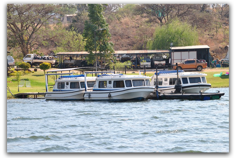
Groblershoop in the Northern Cape
Groblershoop is located along the Orange River in the ZF Mgcawu District, roughly 90 kilometres west of Upington. The town developed as part of irrigation agriculture schemes that transformed sections of the Northern Cape into productive farmland.
Vineyards dominate the surrounding region, supported by water drawn from the Orange River. Table grapes and other fruit crops thrive here, turning an otherwise dry landscape into one of South Africa’s key agricultural zones. The name reflects both a historical figure and the broader idea of hope tied to irrigation and agricultural development in a challenging climate.
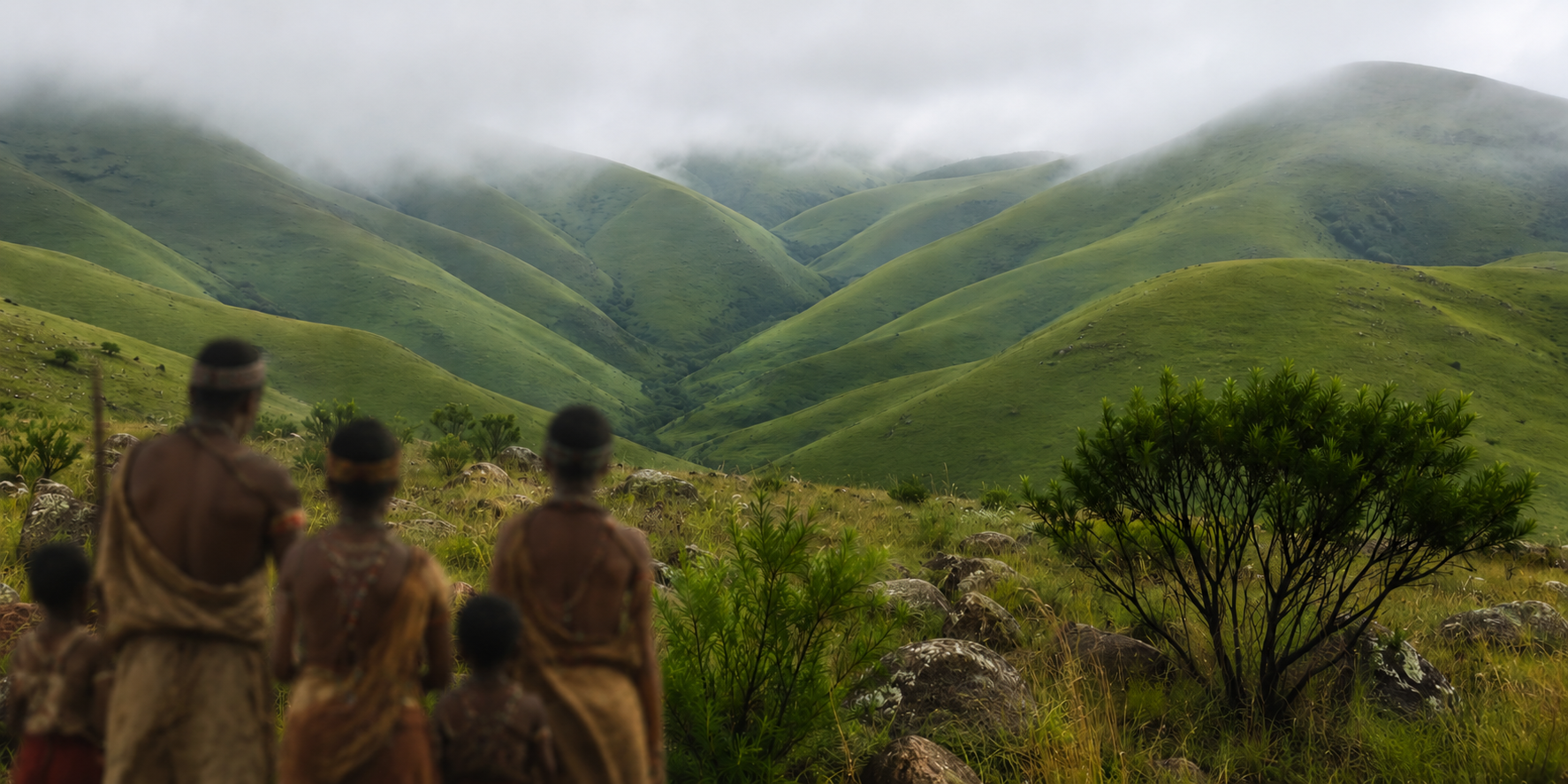
Kaapschehoop in Mpumalanga
Kaapschehoop sits high on the Mpumalanga escarpment, roughly 35 kilometres from Mbombela (Nelspruit). Unlike the arid towns of the interior, this settlement is wrapped in mist, grassland and rocky outcrops.
Originally established during the 1880s gold rush, Kaapschehoop attracted miners searching for fortune in the hills above the Lowveld. Today, it is better known for its wild horses, which roam freely across the surrounding highlands, and for its cool, often misty climate that contrasts sharply with the heat of nearby valleys.
The name carries a layered history. “Kaapschehoop” reflects early Dutch influences and the optimism of gold prospecting, where hope was tied directly to discovery.
Keetmanshoop in Namibia
Keetmanshoop lies in southern Namibia along the B1 highway, roughly 500 kilometres north of the South African border at Nakop. Founded in 1866 by the Rhenish Missionary Society, the town was named after the German merchant Johann Keetman, who supported the mission financially, and combined the word “hoop” with the name.
Semi-desert landscapes, camelthorn trees and vast open spaces define the surrounding region. Keetmanshoop serves as a key stopover for travellers heading toward Fish River Canyon or continuing north through Namibia.
Its historical mission buildings and proximity to the Quiver Tree Forest near Garas Park add cultural and natural depth to an otherwise quiet but strategically important town.
A shared thread across landscapes
From the fertile Free State plains to the dry Karoo, the irrigated valleys of the Northern Cape and the misty Mpumalanga highlands, these towns reflect different South African environments. Keetmanshoop extends the pattern into Namibia, showing how language and settlement history cross modern borders.
Each “hoop” in these names carries a different story. Some are tied to agriculture, others to mining, missions or river systems. Together, they reveal a consistent theme: communities naming their surroundings not only for what existed, but for what they believed could endure.
Hope, in these towns, is not abstract. It is geographical, historical and still visible in the landscapes that continue to shape them.


Comments ()