Paper map, Google Maps or GPS?
Should you trust Google Maps, invest in a GPS or keep a paper map in the car?


There was a time when getting lost was simply part of travelling. A paper map would unfold across the dashboard, someone would squint at a road junction, and the journey would continue with a mixture of confidence and guesswork.
Today, a traveller in Southern Africa can carry several navigation systems in one pocket. Google Maps can calculate a route in seconds. A dedicated GPS can guide you through remote country. A paper map can sit quietly in the glove compartment, waiting for the moment technology fails. The clever traveller knows there is room for all three.
Google Maps for the everyday journey
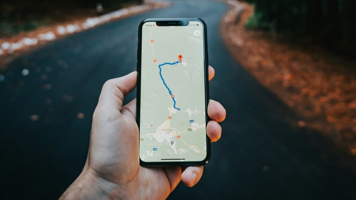
For urban travel and ordinary road trips, Google Maps is difficult to beat. It can show restaurants, petrol stations, accommodation and attractions while recalculating when traffic or road conditions change. It is particularly useful when travelling through cities such as Cape Town, Johannesburg, Gqeberha or Windhoek.
The catch is connectivity. A phone is only as useful as its battery, signal and data connection. Downloading maps for offline use before leaving a major town is therefore a sensible habit.
GPS for the long haul
A dedicated GPS remains useful on extended road journeys, especially when travelling through areas where mobile coverage is inconsistent. It also has one major psychological advantage. Your route is not interrupted by a WhatsApp message, incoming call or low-battery warning. For travellers exploring rural Botswana, Namibia or the more remote parts of South Africa, that separation can be reassuring.
A GPS should never replace common sense, though. Roads change, temporary closures happen, and mapping information can become outdated.
The humble paper map still earns its place
A paper map may seem quaint until the phone goes dark. A good regional road map gives you something a digital screen cannot. It shows the relationship between places. You can see the distances between towns, identify alternative routes and understand how far you really are from the nearest fuel station.
This matters in Southern Africa, where a seemingly short line on a map can represent a long journey through sparsely populated country.
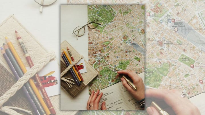
A paper map is also useful for planning before you leave. Trace the route with your finger. Look at the mountain ranges, rivers, borders and national parks. The journey starts before the engine does.
The winning combination
For most Southern African road trips, the answer is not paper map versus Google Maps versus GPS. It is all three. Use Google Maps for local information and changing conditions. Use a GPS for dependable route guidance when travelling further afield. Keep a paper map as your silent insurance policy.
Before leaving, download important maps, save accommodation addresses and note fuel stops. Carry a car charger or power bank, and never assume the next town is just around the corner. The best navigation system is ultimately the one that helps you arrive safely without losing sight of where you are. That last part matters.
Southern Africa is a place worth looking at through the windscreen, not just through a blue line on a screen.
 Lynette Spencer
 Liz Thorne
 Naomi Roebert

Comments ()